Poison Spider Mesa and the Portal Trail
Day Four - Part I - of the 2008 Utah-Colorado Roadtrip
 |
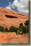
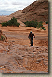
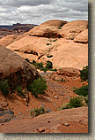
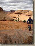
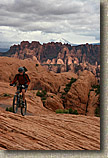
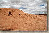
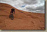
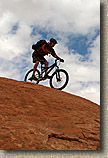
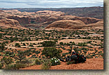
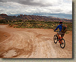
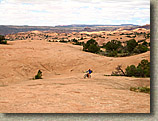
| We woke up this morning to cloudy skies that still looked a little icky. We opted to roll into town for leisurely breakfast. While eating breakfast we could see lighter skies to the north and foreboding clouds to the south. It would be a toss up as to wither were would get rained on today or not. After breakfast and a few errands we went back out to camp and tweaked up the bikes for the day. The plan was to do the Poison Spider Mesa and Portal trail loop. This loop is one of those marquee trails that I had always heard about and was itching to check it out. |
| Resources: In addition to the stuff I mentioned earlier, the Cheap is Real map for this ride useful to bring along as well. I can't remember all of the turns from this ride but those maps should get through this ride. Here is my GPS track from this ride. Choose your format: GPX, GDB, KML |
|
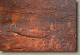
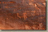
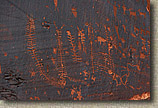
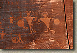
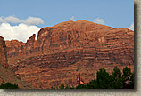
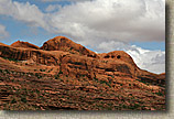
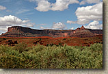
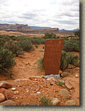
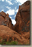 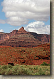 After gawking at the writing we went past the trailhead and continued on out Potash road to take in some views of Long Canyon and lookup into Dead Horse Point State Park. It was also pretty impressive to see just how large Amasa Back Mesa is as we drove around its entire finger. While on the sightseeing diversion the clouds would occasionally break so we were excited about the idea of not getting rained on during the ride. After gawking at the writing we went past the trailhead and continued on out Potash road to take in some views of Long Canyon and lookup into Dead Horse Point State Park. It was also pretty impressive to see just how large Amasa Back Mesa is as we drove around its entire finger. While on the sightseeing diversion the clouds would occasionally break so we were excited about the idea of not getting rained on during the ride. |
   |
|
    |
|
    |
|
     |
|
|
|
|
|
|
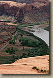
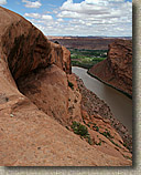
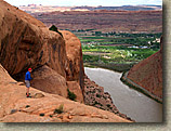
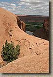
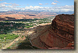
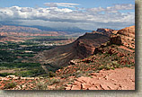 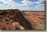 The views of the Moab Valley below were simply impressive. Highways 128, 191, Potash Road and Kane Creek Roads were all just thin little lines from this vantage point. You could also see were the seepage from the tailings pile from the old Atlas Uranium Mine is killing the trees between the pile and the Colorado River. The views of the Moab Valley below were simply impressive. Highways 128, 191, Potash Road and Kane Creek Roads were all just thin little lines from this vantage point. You could also see were the seepage from the tailings pile from the old Atlas Uranium Mine is killing the trees between the pile and the Colorado River. |
|
Warning about the Portal Trail
I’m going to pause from the story of the day to warn you about the Portal trail. It will reset your scales for exposure on a trail. It is off the charts extreme. Nobody falls off the Portal trail and lives to talk about it. The exposed sections have majestically beautiful views to a certain and quick death. Lee Bridgers in his Mountain Biking Moab book dedicates a couple of pages to bringing home life and the Portal trail. This is just a tiny excerpt of a larger fascinating story on how he relates the life of one of his friends to the Portal trail.
“Rusty was eighty-three when he shuffled off. He was a real piece of work, under construction for over eighty years. He had lots of kids. His kids are having kids. People were, and still are, affected by Rusty’s spirit. When he died his family and colleagues celebrated his long life with funny stories and tears of gratitude for having Rusty as a friend for so long. How old are you? How long will you live? Ever consider that your life is invaluable to your family and friends? Ever heard of the expression “Don’t break your mother’s heart?” Ever heard of natural selection? This is the connection. You may not be a Rusty Musselman, but with age, you may become just as interesting, just as much of a character. In Moab we call it “Rugged Individualism.” Fall off the Portal Trail and you will never know the rewards of being an “elder,” of being a rock for your family. You will become some nameless someone who fell off the damn Portal Trail onto the rocks below.”
I’m not trying to scare you, the Portal trail should do that on its own. The exposed sections are not too technical, a solid upper-intermediate rider could pull off those moves 5 times out of 6. However, that 6th time is DEATH! The risk is simply not worth the reward here. Riding these sections is Russian Roulette on a mountain bike and three people have died so far here. I love myself and my family too much to risk becoming the fourth by trying to ride those exposed sections. If you don't feel the same way then this may not be the trail for you.
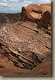
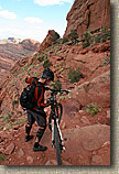
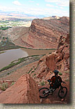
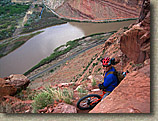
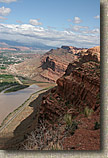 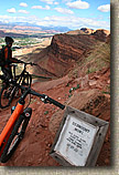 From where the Poison Spider Trail comes out to the view of the Moab Valley, the Portal trail is off to your right. It is intentionally left unmarked here and omitted from the kiosk map back at the trailhead by the BLM to discourage its use. Before you get to the super exposed section the trail is superb both in trail character and astounding views that approach surreal. We rode the non-exposed sections of the portal and heeded every single dismount sign. There are no signs to tell you when it is okay ride again. Use your most cautious judgement on when or if to get back on your bike. From where the Poison Spider Trail comes out to the view of the Moab Valley, the Portal trail is off to your right. It is intentionally left unmarked here and omitted from the kiosk map back at the trailhead by the BLM to discourage its use. Before you get to the super exposed section the trail is superb both in trail character and astounding views that approach surreal. We rode the non-exposed sections of the portal and heeded every single dismount sign. There are no signs to tell you when it is okay ride again. Use your most cautious judgement on when or if to get back on your bike. |
    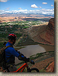 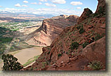 |
|
 |
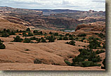
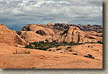
| When you get out past the severely exposed sections you are treated to another surreal view as well as a large enough piece of earth to sit down on. The pan shot above is about a 270 degree view angle with the Portal trail coming in from the left-hand side by the exposed sections and going down the shelf off to the right-hand side of picture. |
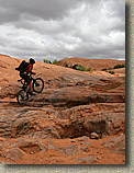
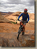
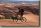
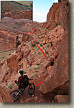
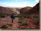 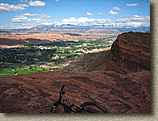 Once you get around the point the trail becomes less exposed. It does however become wickedly technical. It reminded me a great deal of the Goat Camp trail in Arizona only shorter. It is not like there is a shortage of exposure through here either. It is just the kind that you will most likely survive. Bill O'Neil was looking at one nasty little turn with a drop and talking about how doable it was. An over the bars here would mostly likely pitch you off a ledge of some 20 feet or so. I had to remind him that our idea of exposure had been drastically skewed over the last 20 minutes and that was still one hell of a potential fall. Once you get around the point the trail becomes less exposed. It does however become wickedly technical. It reminded me a great deal of the Goat Camp trail in Arizona only shorter. It is not like there is a shortage of exposure through here either. It is just the kind that you will most likely survive. Bill O'Neil was looking at one nasty little turn with a drop and talking about how doable it was. An over the bars here would mostly likely pitch you off a ledge of some 20 feet or so. I had to remind him that our idea of exposure had been drastically skewed over the last 20 minutes and that was still one hell of a potential fall. |
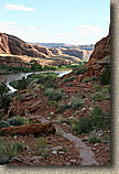 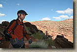 The technical ride down was pretty exciting and challenging. It was more of a slow technical kind of trail vice a ripper blaze fest. Big Chunk-O-Rama. Believe me my shoes touched Mother Earth on more than a few occasions on this trail. Once down at the bottom of the mesa the trail undulates for a while out to the Jaycee campground. You do not need to do this section as there is a spur that shortcuts the trail directly out to the road shortly after you come off the mesa. However the trail to the campgroud is alright. The technical ride down was pretty exciting and challenging. It was more of a slow technical kind of trail vice a ripper blaze fest. Big Chunk-O-Rama. Believe me my shoes touched Mother Earth on more than a few occasions on this trail. Once down at the bottom of the mesa the trail undulates for a while out to the Jaycee campground. You do not need to do this section as there is a spur that shortcuts the trail directly out to the road shortly after you come off the mesa. However the trail to the campgroud is alright. |
      |
|
|
| So we hopped in the truck and headed out for Day Four - Part II, Bartlett Wash. |

