Little Creek Mesa, Hurricane Utah
 |
| Little Creek Mesa is a real hoot for those who love great techish singletrack, playing on slick rock, incredible views and have a since of adventure. While located only about 15 miles outside of Hurricane Utah (as a crow flys), it will take you about an hour to get there from town. The slickrock with drops, ledges and rollers coupled with twisty forested singletracks that often run along the rim of the mesa are a real treat. You will need to have good navigational skills as the trail are marked only with rock cairns that are not always easily spotted. Danger awaits the overzealous who freeform on the rocks without snooping around first. There is little in the way of serious elevation change here, but there are lots of short and strenuous sections. If you have not done Gooseberry Mesa before, I recommended you you get in a ride there first. Gooseberry is pretty well marked and it will help develop your navigational senses on this type of terrain that will make your experience at Little Creek Mesa much more enjoyable. |
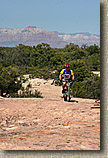
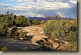
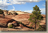
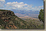
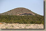 Directions: (Can be a navigational challenge) From St George, Utah, head north on Interstate 15. Exit on highway 9 and take it east into Hurricane. Turn right onto highway 59. Zero/check your odometer at this point. At the next intersection highway 59 turns left and heads uphill and out of town. About 5-6 miles later you will pass by "The Point" of Gooseberry Mesa on your left and you will see Little Creek Mesa off to your right. Keep on driving. After about 10 miles from town you will go by a gas station on the left. A few miles later be on the lookout for Little Creek Mesa Road on your right at 14.6 miles. (For you Gooseberry veterans, if you pass the dirt road on your left that turns back about 120 degrees that heads out to Gooseberry Mesa you have gone too far. ) Now ZERO your odometer again as you make the right hand turn onto Little Creek Mesa Road. I'm going to reference this spot for the rest of the way. Also take not of the large knoll to the south with the cinder pit. This is your best visual reference in the area (pictured above right). The road will be going to the left and behind this knoll. (Note: Unless I say otherwise these turns are also on the mainly traveled road.) At 0.3 miles the road turns left and there is a 400W sign. At 1.2 mile the road turns right. At 2.2 miles the road turns right. At 3.2 miles keep left. At 3.5 miles you go over cattle guard. At 3.6 miles keep left. At 6.7 miles you will come to a 4 way intersection in a slight low spot in a fairly open area. Make a right hand turn off of the main road. At 7.6 miles a road merges in from the right, stay on the road you are on by bearing to the left. At 8.5 miles you will cross another cattle guard. At 8.9 miles you will reach a slickrock area where you will park off to the left. It will be blatantly obvious if you go to far as the road will suddenly become a high clearance type road. NOTE: I have included the dirt road out to the trailhead in my GPS files as a separate track. Directions: (Can be a navigational challenge) From St George, Utah, head north on Interstate 15. Exit on highway 9 and take it east into Hurricane. Turn right onto highway 59. Zero/check your odometer at this point. At the next intersection highway 59 turns left and heads uphill and out of town. About 5-6 miles later you will pass by "The Point" of Gooseberry Mesa on your left and you will see Little Creek Mesa off to your right. Keep on driving. After about 10 miles from town you will go by a gas station on the left. A few miles later be on the lookout for Little Creek Mesa Road on your right at 14.6 miles. (For you Gooseberry veterans, if you pass the dirt road on your left that turns back about 120 degrees that heads out to Gooseberry Mesa you have gone too far. ) Now ZERO your odometer again as you make the right hand turn onto Little Creek Mesa Road. I'm going to reference this spot for the rest of the way. Also take not of the large knoll to the south with the cinder pit. This is your best visual reference in the area (pictured above right). The road will be going to the left and behind this knoll. (Note: Unless I say otherwise these turns are also on the mainly traveled road.) At 0.3 miles the road turns left and there is a 400W sign. At 1.2 mile the road turns right. At 2.2 miles the road turns right. At 3.2 miles keep left. At 3.5 miles you go over cattle guard. At 3.6 miles keep left. At 6.7 miles you will come to a 4 way intersection in a slight low spot in a fairly open area. Make a right hand turn off of the main road. At 7.6 miles a road merges in from the right, stay on the road you are on by bearing to the left. At 8.5 miles you will cross another cattle guard. At 8.9 miles you will reach a slickrock area where you will park off to the left. It will be blatantly obvious if you go to far as the road will suddenly become a high clearance type road. NOTE: I have included the dirt road out to the trailhead in my GPS files as a separate track. |
|
| Ride Notes: (From Day One of the 2008 Utah-Colorado Roadtrip) (There are three different slideshows broken down by year) |
|
|
|
|
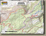
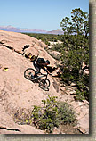
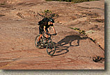
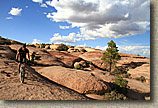
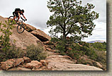
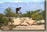
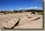
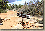
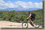
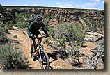
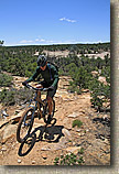
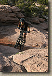
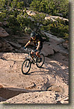 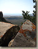 Shortly (0.2 miles) after rolling down a bit of doubletrack from the trailhead we hung a right onto a bit of forest singletrack marked by a set of stacked rock cairns. Get used to looking for these as they are pretty important for finding you way around here. It was not long before we came out onto an expansive field of slickrock. There are cairns to be seen both to your left and right. Our intention was to do a big loop from here and retrace our way back up the singletrack we just came in on later in the day. We took off to the left and enjoyed a great mix of both forested singletrack and sections of slickrock. Shortly (0.2 miles) after rolling down a bit of doubletrack from the trailhead we hung a right onto a bit of forest singletrack marked by a set of stacked rock cairns. Get used to looking for these as they are pretty important for finding you way around here. It was not long before we came out onto an expansive field of slickrock. There are cairns to be seen both to your left and right. Our intention was to do a big loop from here and retrace our way back up the singletrack we just came in on later in the day. We took off to the left and enjoyed a great mix of both forested singletrack and sections of slickrock. |
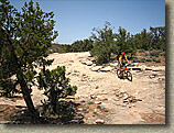 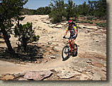 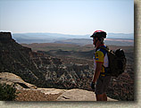   |
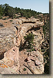
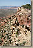
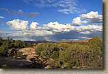
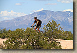
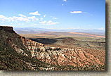
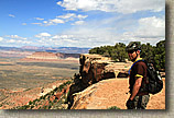
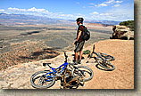
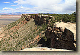
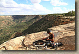
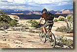
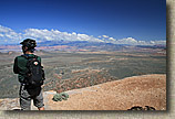
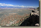
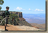
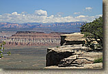
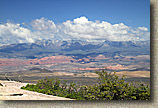
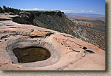
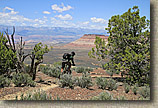
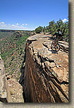
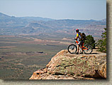 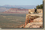 The singletrack eventually spent a good portion of time right on the western rim of the mesa. To say the views were expansive is quite an understatement. Falling off of this mesa will result in certain death. The trail never really get precariously close to the edge but there are a few spots that will pucker you up a little. Looking back at it now, later on in this trip I would have my exposure meter totally recalibrated but that is another story. The singletrack eventually spent a good portion of time right on the western rim of the mesa. To say the views were expansive is quite an understatement. Falling off of this mesa will result in certain death. The trail never really get precariously close to the edge but there are a few spots that will pucker you up a little. Looking back at it now, later on in this trip I would have my exposure meter totally recalibrated but that is another story. |
|
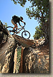
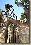
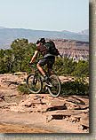 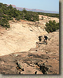 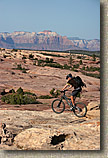 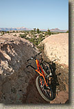 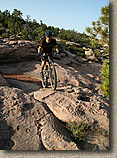 Some Slickrock Play |
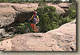
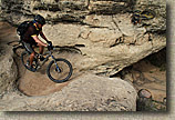
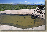
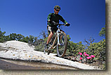
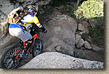 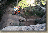 This was my first return to significant technical riding since my Goat Camp crash and I could tell that my confidence level was not fully restored. While I passed on something I know deep down inside I can do, I made some great strides in facing my demons and by the end of the ride I was feeling much more confident on the bike. This was my first return to significant technical riding since my Goat Camp crash and I could tell that my confidence level was not fully restored. While I passed on something I know deep down inside I can do, I made some great strides in facing my demons and by the end of the ride I was feeling much more confident on the bike. |
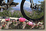
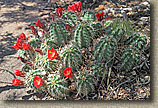
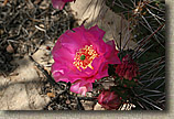 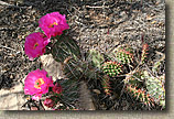 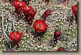 I saw more cacti blooming out here than I have seen in all of southern California last year. |
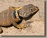  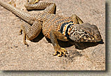 This was one very cool lizard. Quite the camera ham as well. |
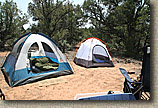
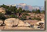 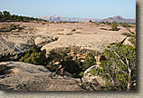 We spent the afternoon cairn chasing, free forming on the rock and on more than several occasions, scratching our heads. While I would like to say that from one cairn you can see the next, it is not true 100% of the time. We certainly missed some stuff, as we knew we would. In particular we missed the spur that goes out to a really cool point. Oh well, there is next time. You bet there will be one of those. I’m going to come back here sometime for an entire weekend. We made our way around the loop and retraced our way back to the camp with about an hour or so of daylight left. We were the only people on the mesa when we came back by the trailhead. We enjoyed a few of our smuggled in beer and a hearty camp dinner before crawling into our tents. It was clear night that was hovering between cool and brisk. I left the rain fly off and fell asleep while checking out the stars. Tomorrow we would be pulling up camp and heading to Moab. We spent the afternoon cairn chasing, free forming on the rock and on more than several occasions, scratching our heads. While I would like to say that from one cairn you can see the next, it is not true 100% of the time. We certainly missed some stuff, as we knew we would. In particular we missed the spur that goes out to a really cool point. Oh well, there is next time. You bet there will be one of those. I’m going to come back here sometime for an entire weekend. We made our way around the loop and retraced our way back to the camp with about an hour or so of daylight left. We were the only people on the mesa when we came back by the trailhead. We enjoyed a few of our smuggled in beer and a hearty camp dinner before crawling into our tents. It was clear night that was hovering between cool and brisk. I left the rain fly off and fell asleep while checking out the stars. Tomorrow we would be pulling up camp and heading to Moab. |
| Onto Day Two - Amasa Back in Moab |
Pictures from Spring 2013 |
| I spent a day playing on Little Creek Mesa in the Spring of 2013. Here are some pictures from that outing. |
Pictures from the Spring 2015 Outing here |
| This was day three of a spring 2015 roadtrip to St George. |

