Anderson Truck Trail
All of the topographic maps I have seen show Anderson Truck Trail as a jeep trail. However it has been many moons since a Jeep could follow this trail which has turned into wonderful singletrack for the better part of its length. It is located about 20 miles east of San Diego near the town of Alpine. While this trail is rather short (around 8-10 miles) it gives you a good workout and rewards you with some singletrack fun and a blistering downhill return to your car.
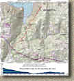 TOPO
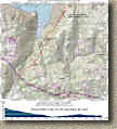
Map and Elevation Profile
Directions: (These directions are to the bottom of the trails since I don't normally do the shuttle thing.) From San Deigo take Interstate 8 East to the Harbison Canyon Exit. Go straight onto Alpine Blvd. Take Alpine Blvd to Peutz Valley Rd., which goes under the freeway. Park under the freeway bridge,
Trail Notes: The pictures here are a mixture of pictures taken in June of 2002 and January 2005. Between these two times the entire area was burned in the 2003 wildfires and most recently received rain damage from the 2004/5 record breaking period of rain.

 From your parking spot under or near the freeway bridge. Climb up
Peutz Valley Road 8/10ths of mile and a tank on the right hand side of the road.
Look for the trail off to the left side
of the road. NOTE: At 3/4ths of a mile you will see a trail
going off to your left (The boring picture to the left is where that
is). This is the old entrance to the Truck Trail that is no longer used do
some private property issues. Continue on past this for just a little bit and look for the next
trail off to the left directly across from a tank on the right hand side side
of the road. Follow this trail and take any splits to the left and
it will soon descend sharply drop onto Anderson Truck Trail. Hang a right
and continue on. You will have a good mile of fast cruising on a
slightly down hill section of singletrack/old 4WD road before you transition into the uphill
portion of the trail. The uphill is around 2.5 miles long and can be
quite challenging. There are usually multiple lines on the climb so
you also get to do some thinking in addition to grunting as you work your way up
the trail.

 The trail is exposed to the sun for over 99 percent of its route. The one
exception is the small patch of trees at a bend in the trees. You can see
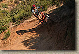
that many riders ride the bank of the turn on the way down the
hill.

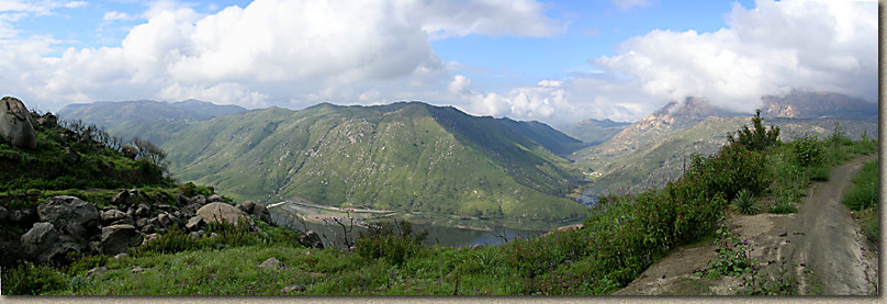
 The further up the climb you go the better the views get as you can see more and
more of El Captain Reservoir. Once up to the top you will come to a large
dirt area. There are several technical side trip singletracks to check out
from here. Off to the left there is a trail named Sidewinder that is mucho
fun. Of the right there is a trail that loops back to the main trail and
little bit down the hill. If you are on a freeride bike this trail offers
some nice rock hucking opportunities. While a I have not gone beyond the
large dirt area, further up is the World Cup trail which is touted as one hell
of a downhill trail. The top part of the trail cuts through an Indian
Reservation and there is some controversy with the trail cutting through the
reservation.
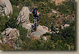
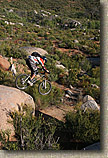
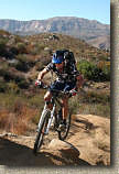
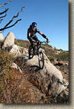
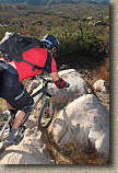
I had my first adventure a little further up Anderson Truck Trail on some of the more chunkier stuff and I must say it was quite technical more geared to the downhill/freeride type riders as there are some nasty spots along this section of trail.


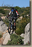
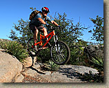
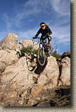
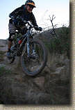
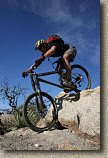
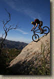
A high quality helmet operability test for Tim.


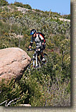
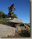
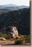
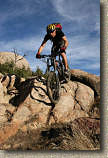
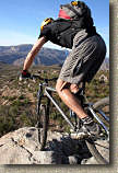
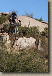
Steve also "playing" on the rock.
Play Time - Fall 2007
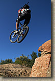
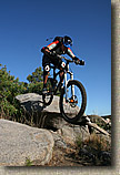
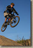
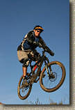
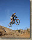
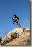
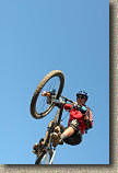
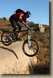
It has worked out that my mid-week ride day and Steve's have been meshing up this fall so I have been taking some flight lessons from Steve at his regular haunt. Word is I have worked my way up to sitting in the back of the short yellow bus to "Air School"
Play Time - May 28th, 2008
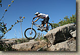
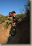
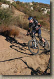
I never get tired of playing out here or taking pictures in the afternoon light.
