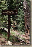
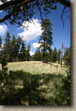
Day Three – White Mountains abort and Flagstaff.

 After
the weather did not cooperate with us in the White Mountains we beat feet for Flagstaff
and better weather. We made fairly good time out of the
White Mountains and both the flora and fauna of the route to be pretty nice with
numerous elk and antelope sightings along the way. I am not remotely
proficient at snapping shots of wildlife while going done the road so I
often found
myself with the lens cap on or camera setup all wrong when I spotted some
wildlife.
|
|
Day Four – Mount Elden
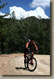
Today was a phenomenal day of mountain biking. We leisurely started the day and were at the trailhead at the base of Mt Elden at 10:30AM. We started off my climbing the Mt Elden lookout road which starts off as pavement but turns to dirt after about a mile. The road is quite a significant climb as you start at 7,150 feet and climb for 7.1 miles to the top of Mt Elden at 9,170 feet. The weather was quite exceptional with temperatures in the 70's and puffy clouds marching across a fantastically blue sky.
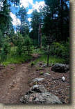
 At
around 2.7 miles you pass by another trail crossing the road. Going
off to your left is the top of the Rocky Ridge trail. Off to your right,
the Oldham trail passes close by the road and there is a 20-yard long connector
onto the trail. If you are one of the quicker climbers in the group
here is an option for you. Continue up the fire road and in about 1/4th of
a mile you will pass another trail crossing the road. Coming in from the
left is the Brookbank trail and on your right is the Oldham trail (It maybe labeled Upper
Oldham at this point) is once again close by the road. You can hang a
right and take Oldham back downhill to the last junction. Hopefully your
buddies are close by and you can get off their anti-social billy-goat climber list for a few
minutes.
 Beyond
this point you will not see any more trails crossing the road and you will
climb, climb, climb. The This climb by no means gets boring as the views just keep getting better.
Somewhere around the five mile mark the grade kicks up just a bit but it is only
for about a quarter mile or so before the grade gets back to what you have been
dealing with earlier in the climb.
At around 6.5 miles you come up to Sunset Park on your left. You are done with the brunt of the climbing at this point and following the fire road just a little further you will come out onto an open area at the top of the mountain. The Sunset trail is off to your left and the top of the Upper Oldham trail is off to your right.
We had lunch at the top and it was actually a little bit chilly particularly since we all pushed out some sweat on the climb. "The sun is out and I'm cold in Arizona in August! What the hell is going on here?" My sterotypes of Arizona were pretty much gone at this point as I struggled to extract a wrinkled-up ball of a windbreaker from the bottom of my pack.
From the general area of peak we picked up the Sunrise trail which over the first 3/4ths of a mile has a couple of sections commonly known as “The Catwalk” and “Organ Donor”. There are some pretty good rock sections in this upper portion to navigate as the trail does a few small undulations.
 Soon
the trail gets extremely picturesque as it chisels its way slightly
downhill along an extremely steep mountainside with expansive views of Little Elden Mountain directly ahead and a large valley below.
The Sunset trail soon
splits off to the left. Do not take the Heart trail that splits off to the
right, it will get you off the mountain but on the wrong side. For the
next .8 miles the Sunset gets really fast with some large round rock technical
sections thrown in the mix that offer plenty of "Pick a line, any line" kinds of
moments through the rocks.
The next 4.5 miles that followed was one of the most awesome bits of buff single track I have ever ridden. It is virtually impossible to get lost on and at the speeds you can go, you should not care until you have turn the pedals more than a few strokes to get up a couple of the incidental rises in the trail. The singletrack will take you back down to the trailhead at the corner of Schultz Pass Road and Mount Elden Lookout Road.
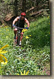
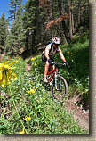
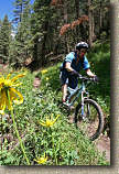
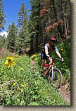
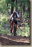
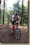
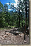
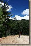
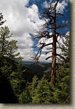
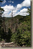
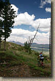
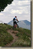
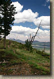
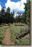
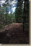
I did force myself to stop once on the Schultz Creek Trail to get some photos.
VIDEO
 |
Here is the video I shot during the ride that day. Right click on the image to the left to download the Mo-Bigger Formatted 5 minute video that is 50MB. |


